Robotic ImagingMay 3, 2022
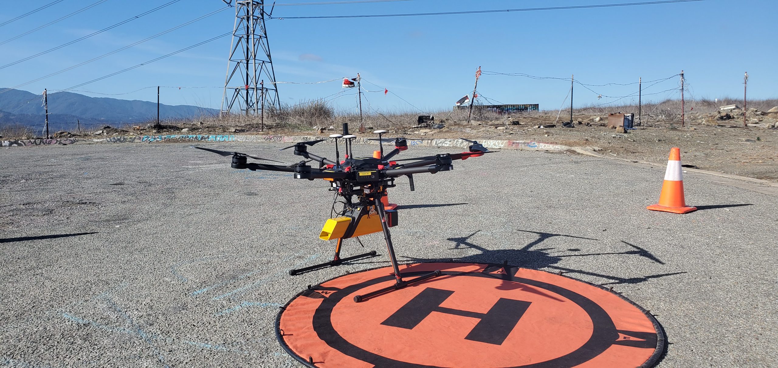
LiDAR drones are self-explanatory, they consist of a drone equipped with LiDAR sensors. When a high-resolution 3D model of something large or inaccessible is needed, a LiDAR sensor on a drone can help you get what you need. LiDAR combines light pulses and other data to create precise 3D structure models, terrain models, and elevation models. The device becomes an all-in-one 3D mapping tool when placed on a drone.
Before drones were used to carry LiDAR technology, the only way to use LiDAR was by using a handheld device, flying it on an airplane or helicopter, or using a satellite. LiDAR technology was also only used for well-funded projects that were highly specialized. Now, as LiDAR and drones become more common, it is being used more and more.
Suggested reading: If you want to learn more about LiDAR for land surveying, check out this article.
Uses for LiDAR drones
Flood mapping: A drone can fly over a large area and build an accurate topographic map. Then the model can be used to predict floods, erosion emergencies, and drainage needs.
Building Inspections: LiDAR can be used to survey infrastructure to determine if maintenance is needed.
Agriculture: LiDAR drones can map grazing livestock, track crop production across large areas, and show farmers where more fertilizer might be needed.
Archeology: With a LiDAR equipped drone, archeologists can create a 3D model of an entire city in just a few minutes.
First responders: LiDAR drones can help map the scene of an accident quickly so crews can understand the extent of the damage and respond accordingly.
Conservation: Drones can map and model elements like trees and water to ensure these areas are thriving.
Insurance claims: LiDAR can create very detailed and personalized quotes for building damages without endangering insurance investigators.
Law enforcement: Drones can provide a model of an area to help law enforcement deal with hostage situations, search and rescue, or even radar detection for speeding cars.
Mining: LiDAR drones can help miners plan and execute their excavation with increased safety.
LiDAR drone models
There are 4 main types of drones. They are multirotor, fixed-wing, single-rotor, and fixed-wing hybrid. Below are some things to keep in mind when purchasing a drone.
Shape
If the area you are surveying has many elevation changes, a single-rotor drone would be best. Single-rotor drones provide more agility when navigating mountains, cliffs, and other elevation changes. On the other hand, fixed-wing drones need a lot of room for take-off and landing, so a long and flat surface is required.
Time
If the drone needs to fly for long periods without using much energy, then a fixed-wing drone is best. Fixed-wing drones can hover for long periods without consuming energy.
Size
If you are trying to survey large areas, fixed-wing or single-rotor drones would be best because of their fast speeds. Whereas a multirotor drone may need multiple flights to cover a large area.
Weight
The weight of the LiDAR sensor is important to consider. Make sure to check the drone’s payload capacity and the entire weight of the sensor to ensure the drone will be able to take off.
Cost
Due to its cheaper cost, the best drone to start with is a multirotor drone. Typically, these drones cover a smaller area, but they cost considerably less. Fixed-wing drones are significantly faster, but they do cost more money. Typically, the most expensive drones are single-rotor drones, but they also have the highest level of agility and speed.
Ease of use
Be sure to check the dimensions of both the LiDAR sensor and the drone. Sometimes a fixed-wing drone can be too small for larger sensors. Also, be sure to check the mounting options each drone offers.
Closing
If you want to learn more about drones with LiDAR, or inquire about Drone LiDAR serices, please reach out to us via the form below.