Robotic ImagingDecember 6, 2021
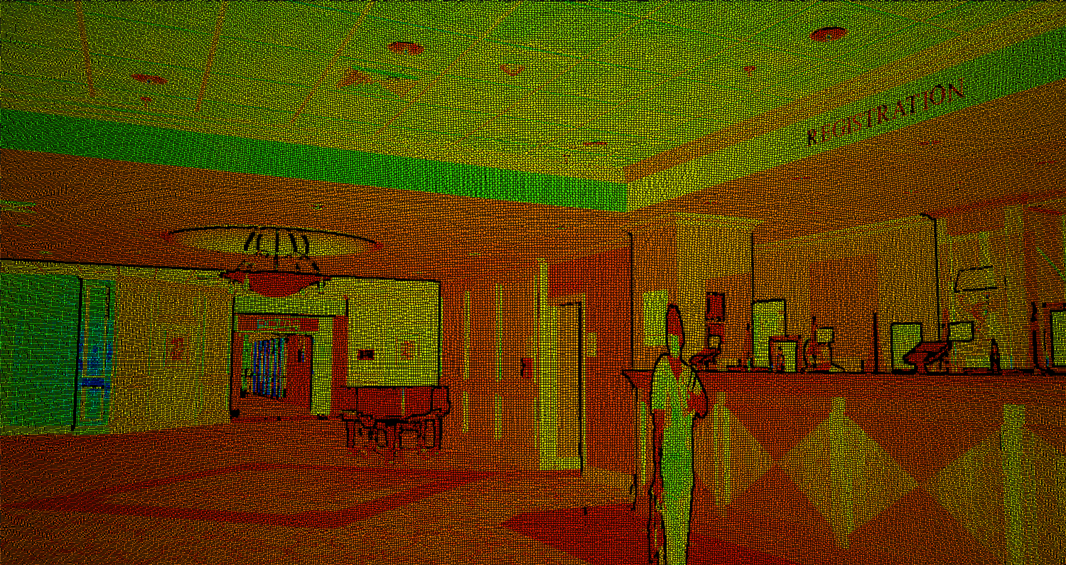
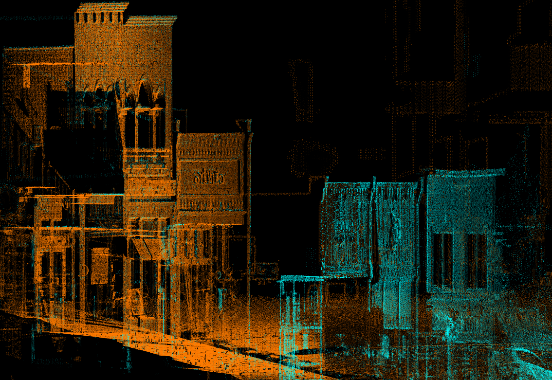
What exactly are point clouds? You might have heard of the term before, but not what it actually means. Simply put, point clouds are plotted data points that represent space. A single point is plotted in an X, Y, Z coordinate and will represent an underlying sampled surface. Multiple data points will collate into multiple spatial measurements and therefore can effectively represent entire interior or exterior spaces. Sometimes, additional data, like color and luminance value, can be stored in an RGB format.
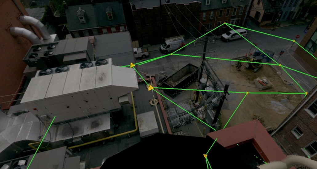
At Robotic Imaging, we use LiDAR technology to collect point cloud data. Each point from a LiDAR scan represents a single scanned measurement, which is highly accurate then stitched together to accurately capture the built environment. This process is called “registration.” Point clouds are typically converted and then translated into BIM models, which are valuable to architects, developers, and construction managers. It's ideal for construction and restoration projects given the precision guaranteed by the LiDAR technology.
Suggested reading: If you want to learn more about the applications of point clouds, check out this article.
Point clouds are the most accurate, pain-free method of measuring buildings and their properties. These measurements produce the most precise and detailed data in comparison to other surveying technology. Developments in technology will push point cloud scanners to improve their accuracy and capabilities within the next few years.
Robotic Imaging will be expanding to provide dedicated tutorials to others out there regarding analyzing point cloud data. Below is our first Revit tutorial on YouTube, demonstrating how to import point clouds into this BIM software.