Robotic ImagingJune 28, 2022
The architecture, engineering and construction industry worldwide have been looking for new methodologies to optimize project timelines and workflows, with hopes of improving efficiency and transparency with their clients. Recently, the utilization and reuse of existing structures and sites have been prioritized due to its cost effectiveness and more positive impact on the environment. But, how can the AEC community better improve its resource efficiency? Having accurate as-built data is crucial, as it impacts the entire planning and design process in adaptive reuse projects. This is where Robotic Imaging comes into play.
Given the recent paradigm shift in this industry, it's been a challenge to truly understand the built environment. People have shifted toward living in urban communities, where historic buildings can be kept, cherished, and reused. Laser scanning and BIM are powerful tools used to best understand older structures. Accurate 3D digital models in projects allows architects, planners, developers, and engineers to visualize the entire project from any project. With all this information modeled, one can predict outcomes and test out design options. This project documentation has become routine.
Suggested reading: If you want to learn more about the history of laser scanning, check out this article.
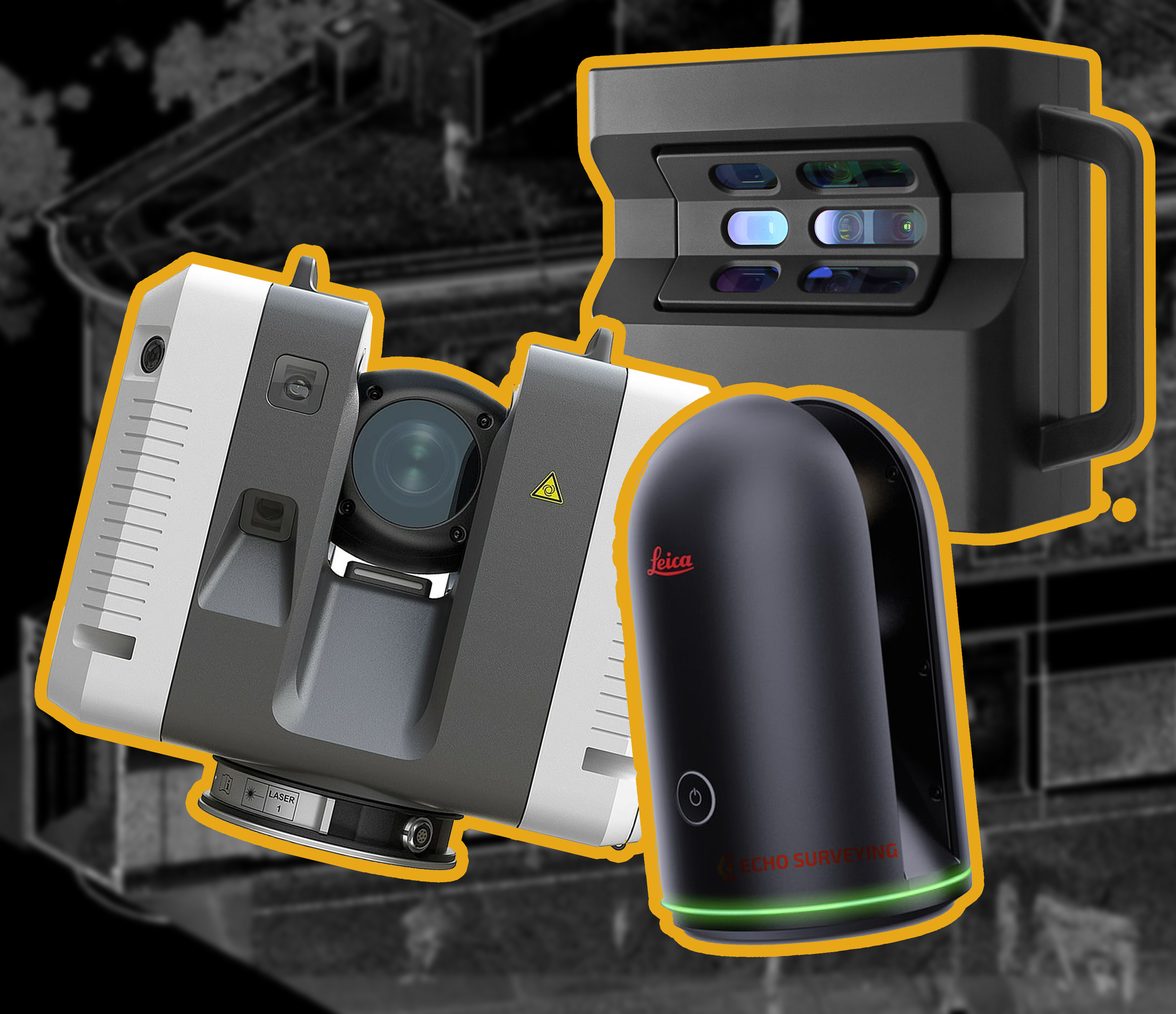
By gathering 3D coordinates, using the highly advanced LiDAR technology, there is now a system and method in place to collect and plot 3D data points incredibly quickly and accurately. By opting to use laser scanning, existing shapes, forms, and surfaces can quickly be defined and the whole method is optimized. A lot of buildings that are being reused and refitted are older than 30 years, way before CAD was mainstreamed in the industry. Therefore, because there is no 3D model nor up to date drawings, it is best to create new digital models from data extracted from the site of a LiDAR scan. Most hard copy drawings and blueprints (if they do exist of course) really only have historic preservation value. There is little help when attempting to reconstruct a building.
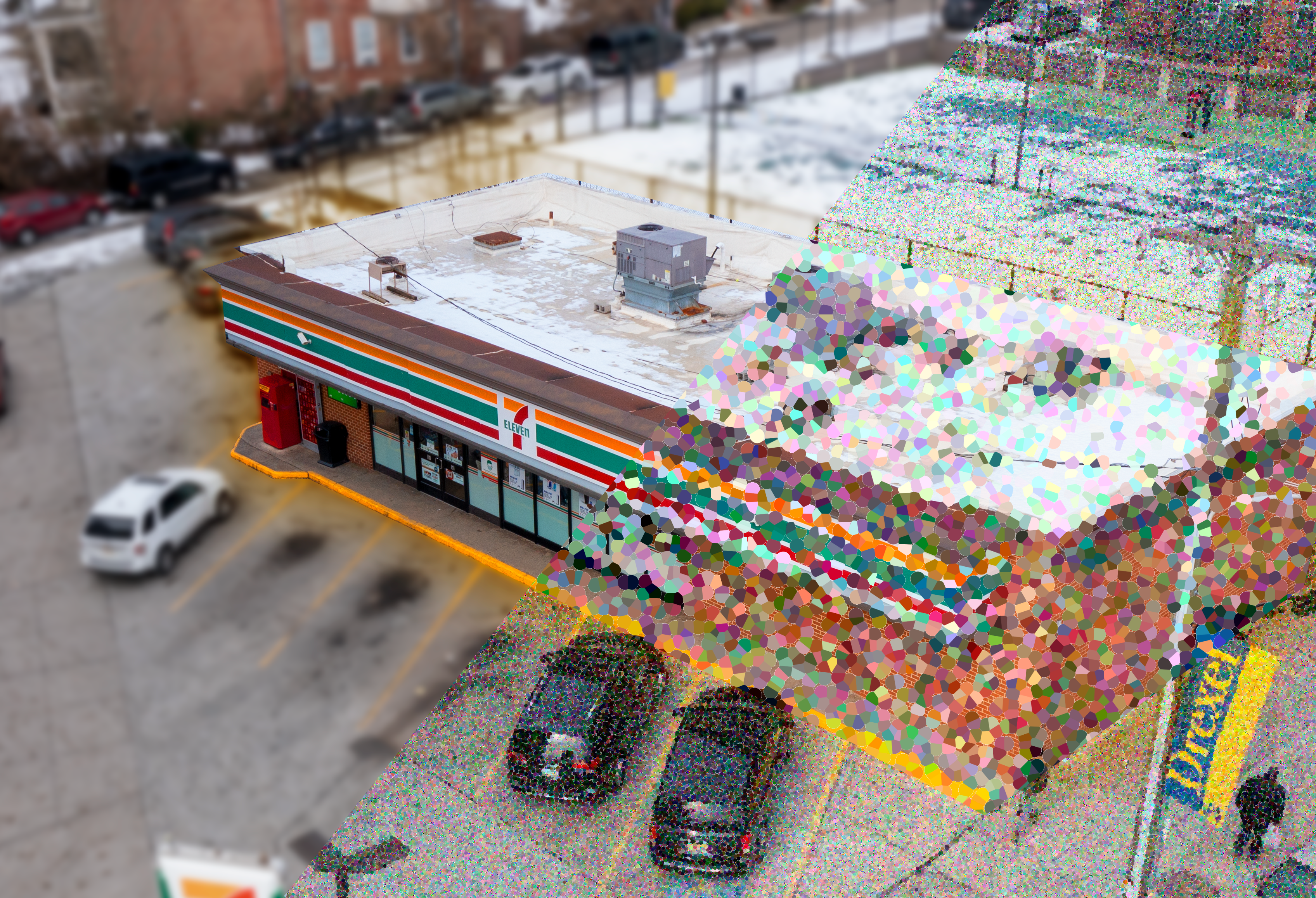
And even with newer buildings with good plan sets and drawings, there are always design and construction discrepancies. So critical data that is extracted directly from the as-built building tends to be more accurate than the original construction plans. At Robotic Imaging, our clients have been satisfied with receiving a comprehensive, as-built model, built by using advanced surveyor technology. Therefore, the building designers, architects, and construction team can make better informed decisions earlier in the design phase. It saves time and money, and even provides historic data to be kept on buildings. The future is here, and it has the power to rethink the whole former methodology when it comes to adaptive reuse projects.