Robotic ImagingDecember 21, 2021
Preserving the integrity of structures at a construction site is always the top priority for any developer, but this principle is significantly more complicated in Philadelphia. With the median age of homes being over 90 years old, Philadelphia has a lot of weak links in its chains of row homes packed into the city. In comparison, most homes throughout the country are about 30 years younger than those in Philly. We also have one of the most densely populated metropolitan areas in the county, coupled with one of the highest percentages of people who live below the poverty line. These facts have come to evolve into entire neighborhoods of dilapidated homes and buildings with little funding to renovate or rejuvenate the areas.
Over the past few years coming out of the great recession, building has begun to boom in many areas of the city. Residential “flippers” started transforming neighborhoods and were followed up by larger industrial and commercial projects. But as every developer knows, all construction projects come with problems and hurdles to overcome. With a large increase in building collapses in recent years, there is a high demand for accurate data and planning before beginning a project.
Suggested reading: If you want to learn more about the advantages of LiDAR, check out this article.
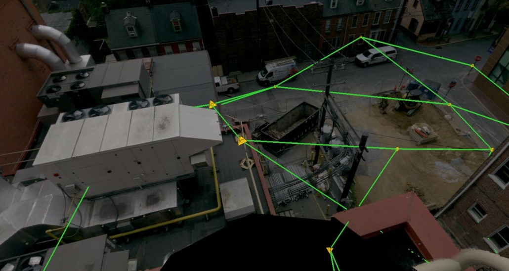
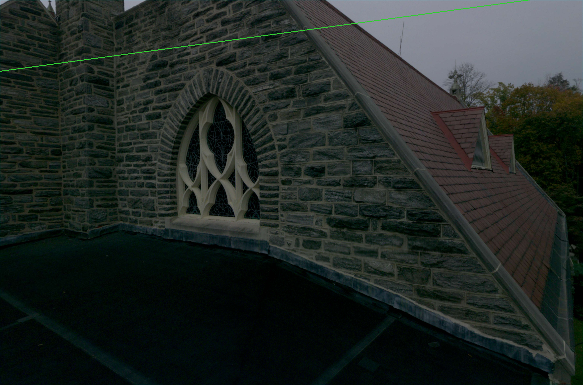
It is imperative for builders to know exactly what they are getting into as they begin breaking ground. Previously, measurements were taken and sketched out by hand, with human error leading to imperfect drawings and layouts. With the introduction of LiDAR scanning into the city, we have seen the accuracy become near perfect on architectural plans, which leads to a much safer build or renovation. The hyper-accuracy of the point clouds produced by LiDAR scanning can be modeled with precision, and no detail will be omitted. Every brick, joist, rafter, window, door and facade is laid out exactly how it exists in the real world. By being able to show any type of out-of-level surface, or out-of-square wall, or sagging floor or roof, builders are able to assess renovations in a way they have never seen before. And the beauty of it all is that it can be done from the comfort of an office, without needing dangerous (and costly) site visits.
Without accurate data, we would continue to see issues arise from conditions the naked eye may not be able to pick up on. LiDAR studies coming from all over the world have proven time and time again that this technology is absolutely necessary in preventing costly damage to historic areas. The research coming out of New York University and University College in Dublin has really pioneered new techniques for collecting accurate and very relevant data. XYHT magazine has included their studies in Sunset Park, Brooklyn and the city center of Dublin as real-world and large-scale applications of LiDAR technology in historical neighborhoods. With more and more big players switching to LiDAR surveys, we can be sure the integrity of our historic buildings is being protected. The stories behind many of these notable structures is what really drives the demand, and conservation is the number one priority.