Robotic ImagingOctober 31, 2022
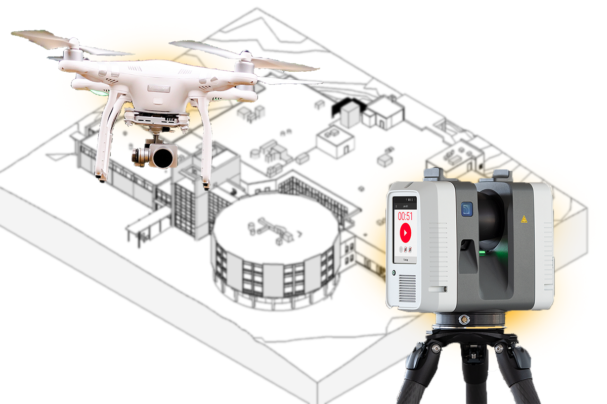
There are primarily two main methods for gathering data for the purpose of aerial mapping. These include LiDAR scan and photogrammetry. The term "Lidar" stands for "Light Detection and Ranging."It is basically a type of remote sensing that utilizes pulsed laser beams of light in order to measure and calculate distances. Another method is photogrammetry. It makes use of photographs taken by an aircraft or aerial device using different types of photography equipment such as a digital camera.
Now you may be wondering which one of these two is best for you to choose for the purpose of aerial mapping. In this article, we will compare both methods and will list down their pros and cons so that you can make a well-calculated decision.
Suggested reading: If you want to learn more about LiDAR for land surveying, check out this article.
LiDAR Scan
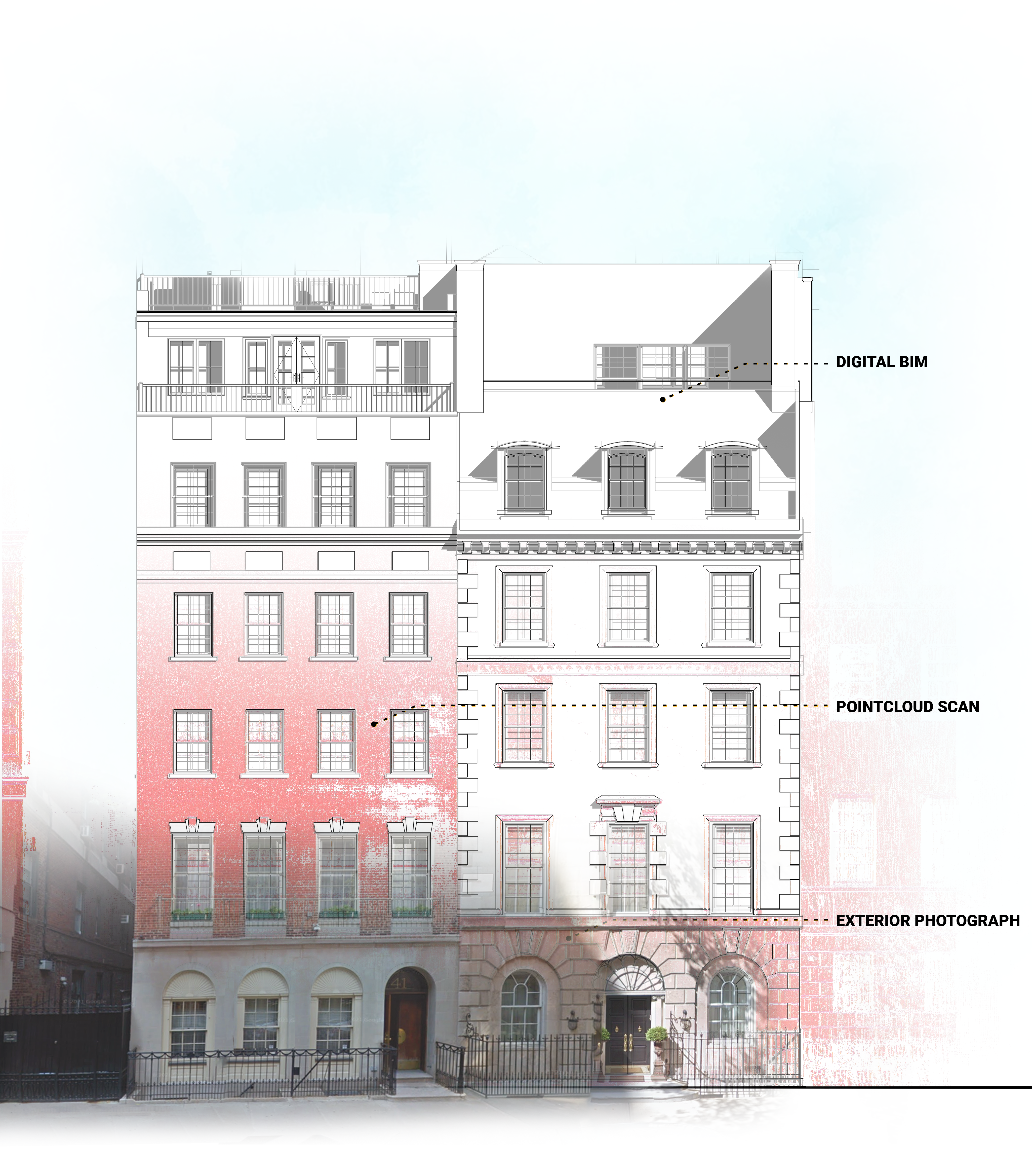
LiDAR scan technique is used by engineers and land surveyors in order to create 3D models and maps. Depending upon the type of mapping project, LiDAR can produce precise elevation data at a depth ranging from decimeters to millimeters. Additionally, it can be utilized for field mapping.
As LiDAR is primarily a laser-based technology, it makes use of lasers both for the purpose of detecting the reflected lights and for illumination. A detector is basically an electronic gadget that analyses incoming signals and identifies the light that has come back.
Pros Of LiDAR Scan
- It offers detailed 3D images of the nearby area that can be used for surveying as well as for aerial mapping.
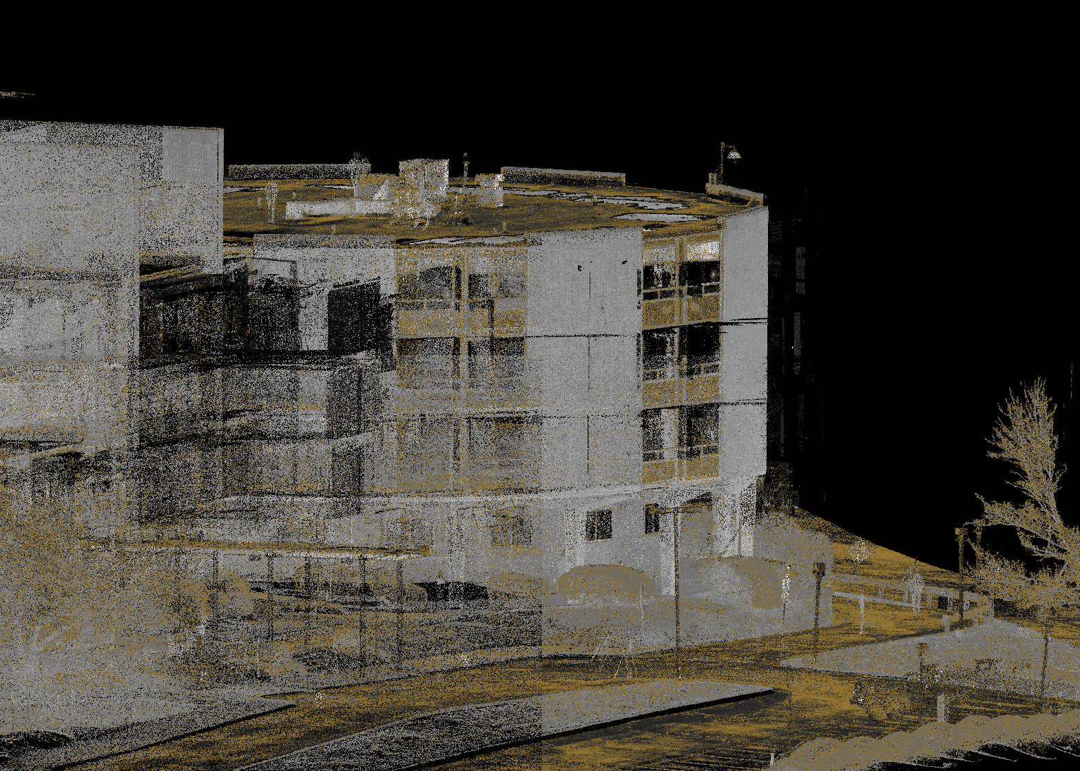
- Produces extremely accurate 3D maps that can be utilized for navigation and localization. This is made possible due to the fact that LiDAR offers thorough details about nearby objects at ground level.
- Provides easy-to-use point clouds that are clear and sharp.
Cons Of LiDAR Scan
- Post-processing software is quite challenging to manage and very costly as well.
- At night or during fog, the accuracy decreases.
- Is prone to interference from other electromagnetic radiation sources, for example, power lines.
Photogrammetry
The photogrammetry technique is used to create a 3D geometry model, which involves taking a lot of pictures from various angles. A person takes a number of pictures to build a 3D digital model of their surroundings.
The captured photos may include all kinds of information as well as textures that are considered to be important for the purpose of recreating the original object.
Pros Of Photogrammetry
- It has much lower chances of making an error in contrast to many conventional measurement techniques.
- Photogrammetry is especially beneficial for projects that move quickly, as it is much faster than measuring tape and laser.
- Very much affordable because most cameras have the ability to obtain data that is required to make a photogrammetry model.
Cons Of Photogrammetry
- When used with close-up photos, it becomes a bit inaccurate.
- Relatively slower than LiDAR scan.
- It needs many photos for the purpose of making a 3D model, particularly when the project is very big such as a town square or a city block.
Even though it is good to compare LiDAR scans with photogrammetry, it is not necessarily true that one is superior to the other. Your choice will certainly depend on the particular situation for which you may need to use a LiDAR scan or photogrammetry technique.