Robotic ImagingDecember 23, 2022
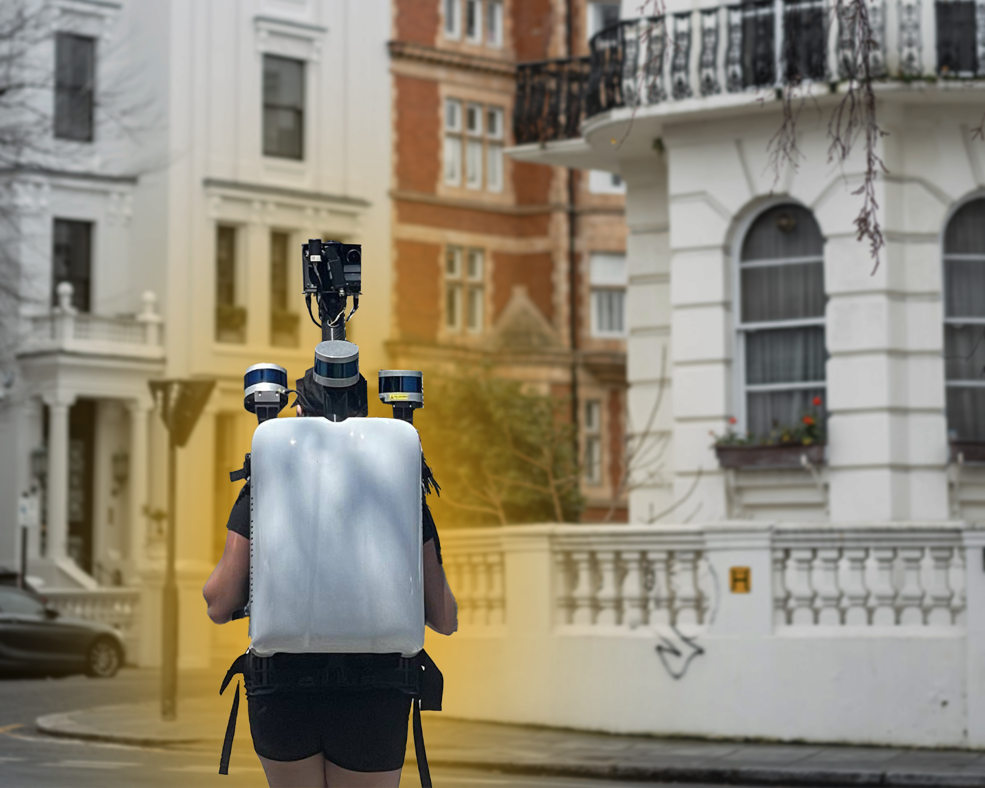
From Leica Pegasus:Backpack to Google’s Street View Trekker Backpack to Microsoft’s Ultracam Panther, LiDAR is now commonly used to retrieve imagery and LiDAR data from regions where cars and other larger technology cannot reach. LiDAR sensors and other high tech equipment is packed in these devices.
Mapping backpacks have been used for years, mainly by private companies and the military. They’re commonly used by the geospatial imaging industries, such as Google, Mapquest, and Apple Maps. They’re used to properly document pedestrian-only paths. Using and overlaying LiDAR data on top of mapping companies' existing data makes the maps more trustworthy.
How Does it Work?
As LiDAR is primarily a laser-based technology, it makes use of lasers both for the purpose of detecting the reflected lights and for illumination. A detector is basically an electronic gadget that analyzes incoming signals and identifies the light that has come back. LiDAR technology has the ability to capture highly detailed structures within seconds of a scan.
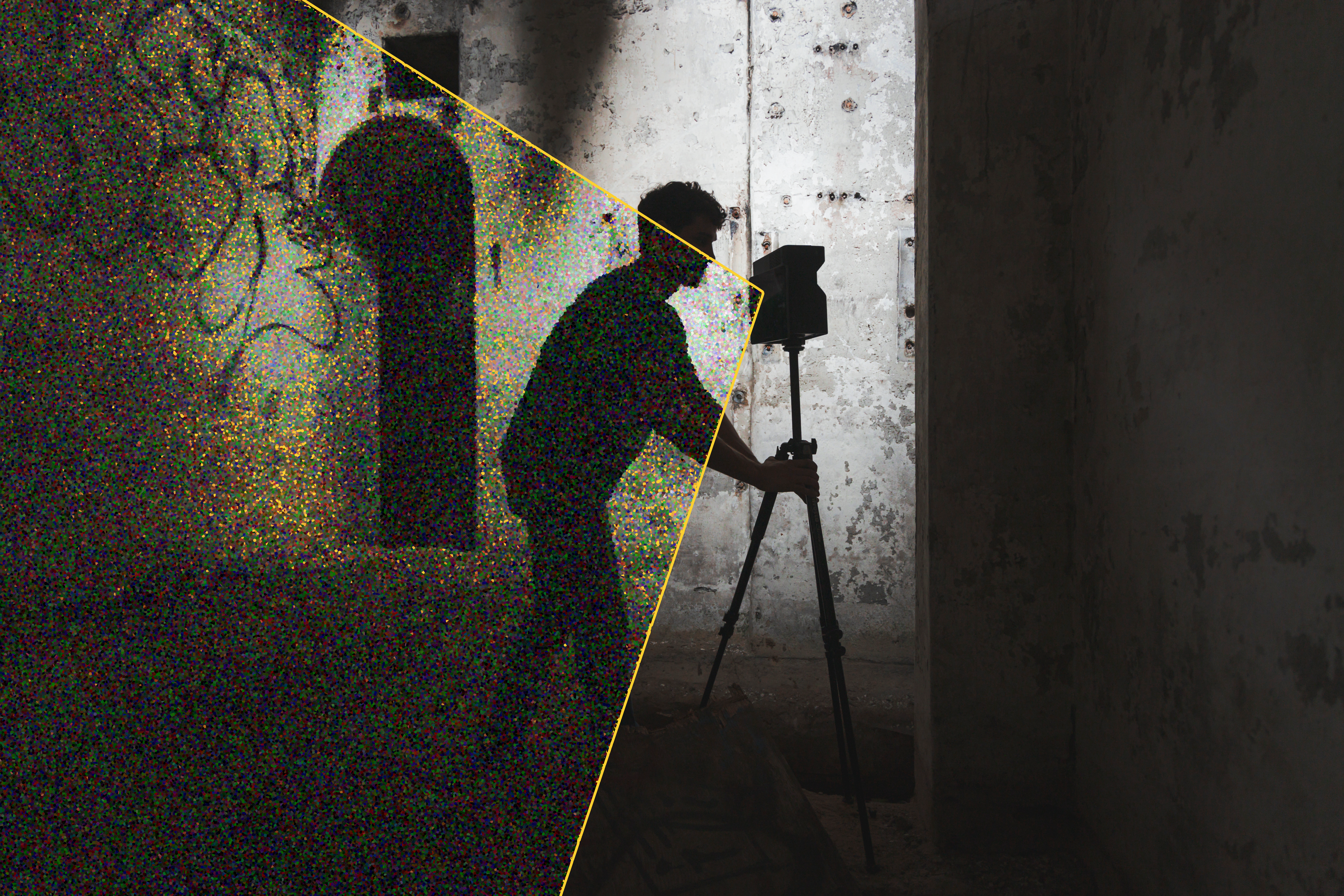
Let’s break down how the Leica Pegasus:Backpack works. The backpack is a complete mobile mapping system. It has two LiDAR sensors to better capture spatial data from its five integrated cameras. The technology stitches the imagery together to create a spherical image.
The user simply puts on the backpack, like a traditional pack. The operator will then just walk around the environment he or she wishes to capture. Arguably, this scan method is the most flexible and easy to use out of all of Leica’s technologies.
Leica Pegasus:Backpack uses SLAM technology, or simultaneous localization and mapping. This extracts the imagery from the camera feed to later stitch together a point cloud of the existing, walk through environment. This technology relates to how self-driving cars work.
Suggested reading: If you want to learn more about how LiDAR works in autonomous vehicles, check out this article.
How LiDAR Mapping Backpacks Are Used in BIM Documentation
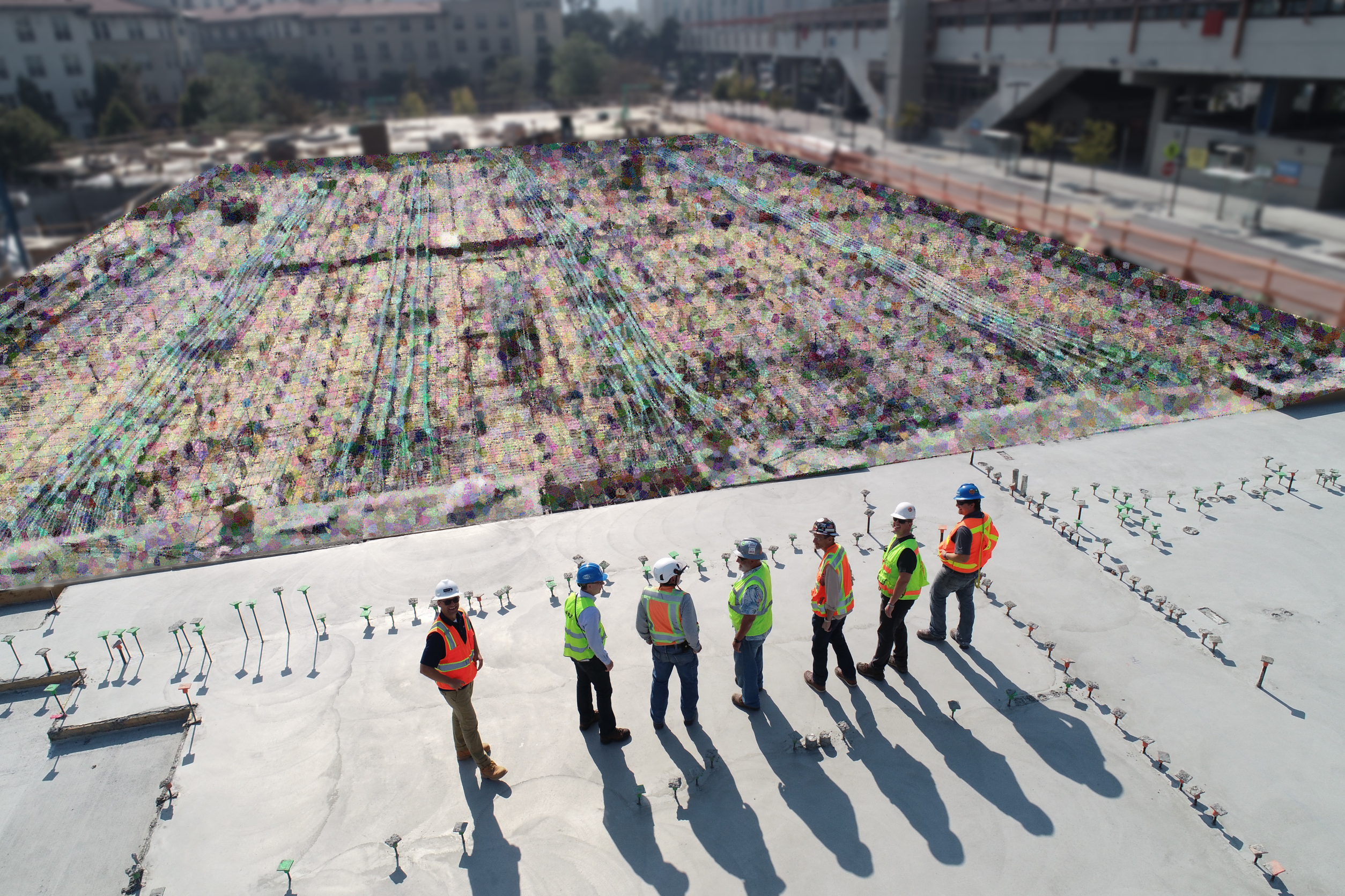
Typically, existing documentation of a building is outdated. Plus, existing documentation does not account for construction discrepancies that might have occurred. They also do not detail how the building might have been renovated over time. Reality capture using point cloud technology is the most modern solution to a constant AEC industry problem.
Backpack LiDAR systems with its synchronized camera systems and point cloud registration capabilities are also the most nimble solution to this problem. Users can extract data from the site, without a total station set up.
The Future of LiDAR Backpacks
The commercial market for mapping backpacks is quite small. Vendors and customers are still discovering its applications on a smaller scale. But due to the LiDAR integration in these mapping backpacks, the user can obtain 3D measurements directly from the extracted site data.
This gives way to unique opportunities for new users to take more accurate measurements and scan hard-to-reach spaces. In the AEC industry, scanning exterior conditions can take considerably less time. Furthermore, if there are narrow (yet walkable) spaces in a building, wearing a LiDAR mapping backpack can accurately extract the needed information.
The future also promises a lighter experience. Google’s Trekker backpack previously weighed 44 pounds. This made an unideal user experience. But, as the future progresses, the newer generation of wearable technology is significantly lighter. And with every newer model, the technology gets more accurate and fast. So, we will all be watching and seeing how this tech evolves.